Dirruhorn
Closed up Bergsteigerin

Dürrenhorn 4,035 m asl

The end of the Nadelgrat

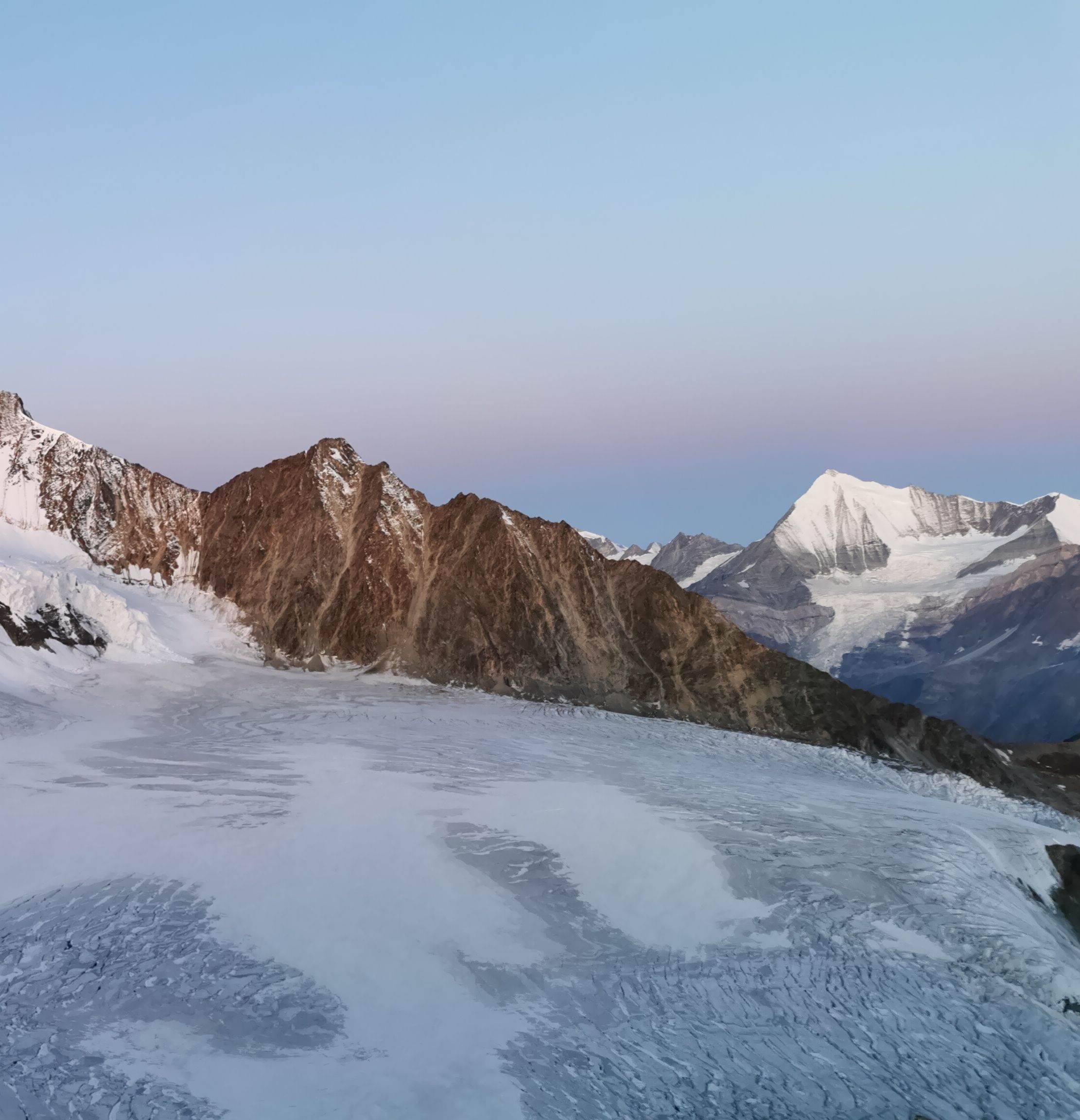
The Dirruhorn forms the end of the Nadelgrat, which descends to the Galenjoch via the Selle and the Chli Dirruhorn.


Key Facts: 

First ascent: 07 September 1879 by Albert-Frederick Mummery, William Penhall and the mountain guides Alexander Burgener and Ferdinand Imseng.

Altitude: 4,034 m asl

Routes:
    SE ridge from Bordierhütte Difficulty: S

Special features & origin of name

The Dirruhorn, also called Dürrenhorn, probably got its name because of its barren appearance. Next to the snow-covered neighboring mountains, it really does look "dry". "Dirr" in the Valais dialect means "dry" or "arid".  The Dirruhorn differs from the neighboring mountains in that it is almost entirely rock. The Dirruhorn is not climbed very often because the huts are far away. When it is climbed, it is often in the course of crossing the Nadelgrat.

 

Mountain and SAC huts nearby

The Bordierhütte is an alpine refuge of the Geneva Section of the Swiss Alpine Club (SAC). It is located above St. Niklaus. It is the central starting point to the peaks of the Balfring Group and the Nadelgrat.

Discover now


Mountain guide offices

If you have any questions or would like to book a tour, the mountain guide offices in Saas-Fee/Saas Valley are happy to help. 

To the mountain guide offices 

Surrounding glaciers

Hohberg glacier

The Hohberg glacier is located on the west side of the Mischabel group. It has a length of about 4 km and covers an area of about 3.4 km². The starting point of the glacier is on the summit of the Dom.