Mountain and SAC huts nearby
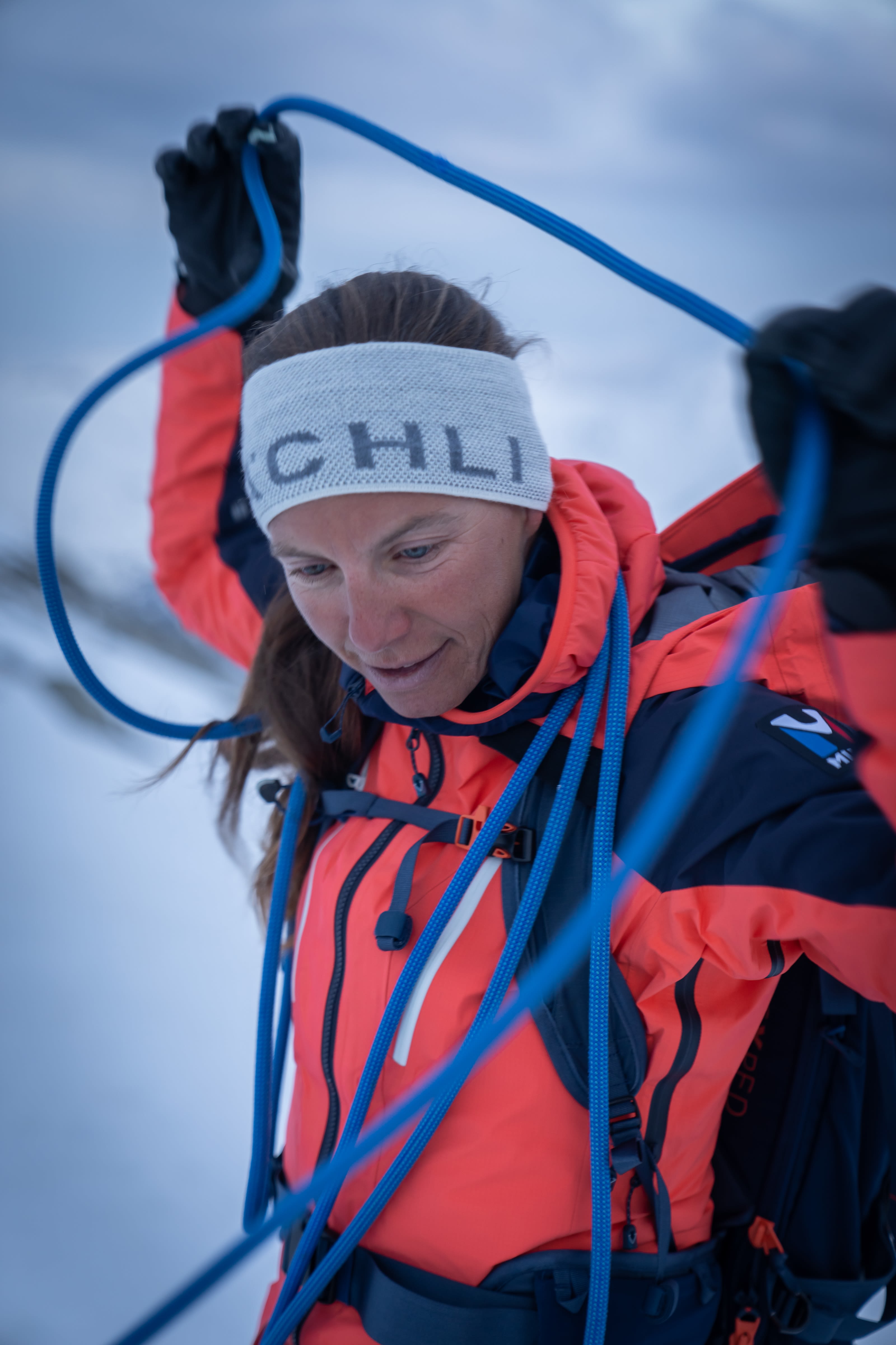
The Domhütte is a central starting point for climbing 7 four-thousanders and offers a dreamlike mountain scenery for mountaineers and hikers. It is located in a high alpine landscape and can be reached from Randa in about 4.5 hours via a high alpine approach. The trail leads first through a beautiful larch forest and then over rocks to the hut. Adventurous! The ascent over the rocks is always well secured with ropes, ice axes or ladders. Ibex, marmots and even snow grouse are not uncommon. Once you have reached 2,940 m asl, you can enjoy a magnificent panorama from the hut, which was completely renovated in 2012.
The Mischabelhütte is located on a narrow rocky ridge between the Hohbalm and Fall glaciers at an altitude of 3,340 m asl, making it the third-highest SAC hut in Switzerland. The steep ascent (four hours from Saas-Fee, three hours from Hannigalp) is strenuous, but the reward at the top is more than worth it. The view into the distance and into the depths is breathtaking!


